Why a trader cares
A missing vessel can mean no activity or missing reception. Coverage validation is necessary before interpreting absence as a market signal.
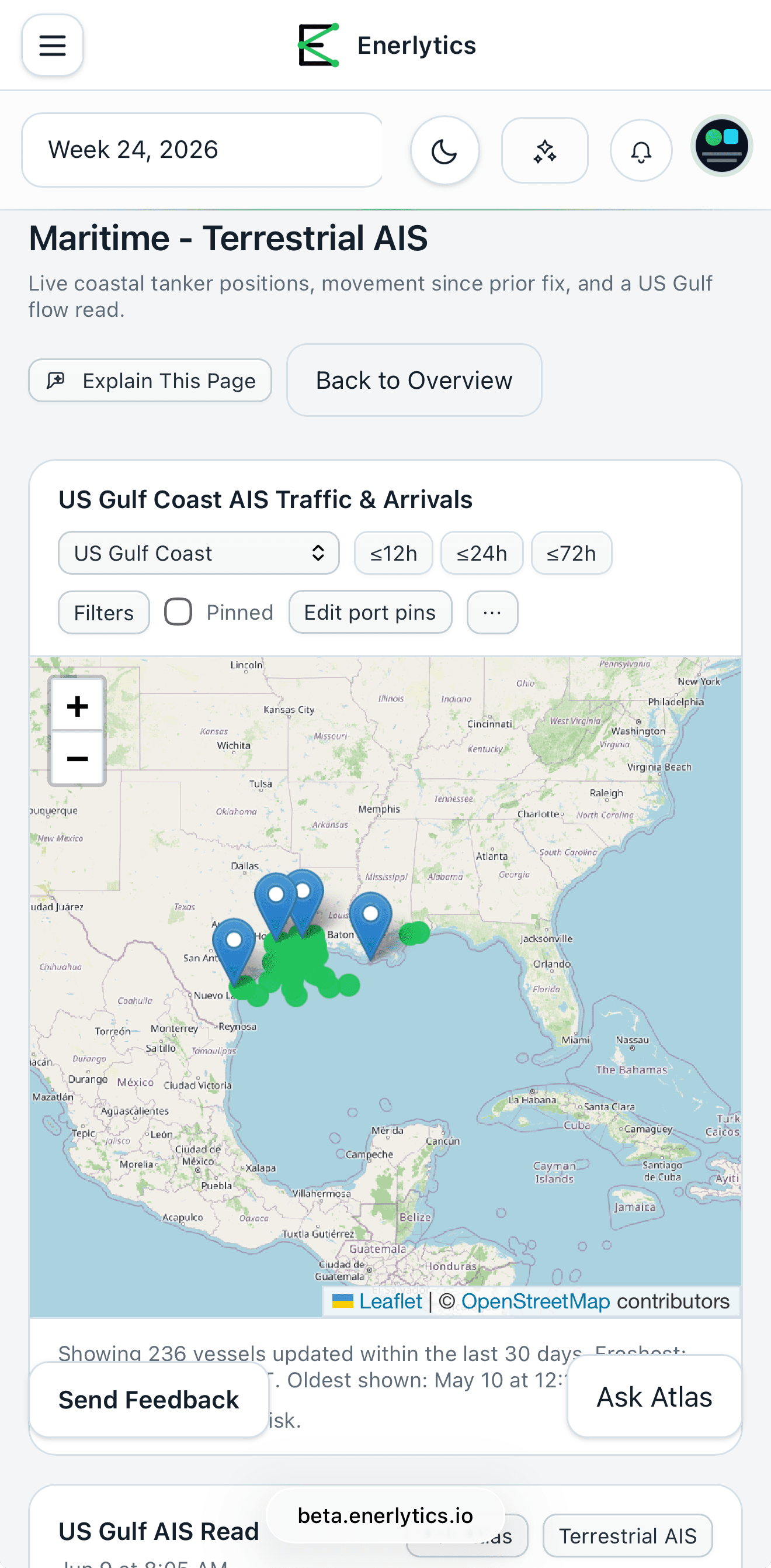
Maritime Intelligence maps live terrestrial AIS positions and movement context across covered ports and chokepoints, with explicit coverage-quality evidence.
A missing vessel can mean no activity or missing reception. Coverage validation is necessary before interpreting absence as a market signal.
What vessel behavior is visible, and is the coverage sufficient to trust the observation?
Every screen preserves the instrument, period, unit, source, and limitation while explaining why the evidence matters.
Read the instrument, unit, timestamp, period, and source first. A weekly stock estimate and a five-minute futures quote answer different questions.
The current value matters less without its direction of travel, seasonal baseline, related markets, and the catalyst that moved expectations.
Treat every dataset as evidence with a release lag, methodology, revision risk, and known blind spots. The workflow should be reproducible after the fact.
Definitions stay plain enough to learn from, while the desk read preserves the mechanism, cadence, and source a professional user expects.
A vessel's latest received latitude, longitude, speed, course, timestamp, and broadcast identity inside the covered receiver network.
Freshness and receiver coverage must be checked before the absence of a vessel is interpreted as absence of activity.
AIS ship-type codes and normalized registry fields distinguish crude/product tankers, LNG carriers, and other vessel classes.
Broadcast static data can be missing or incorrectly entered, so classification confidence should remain visible.
Recent positions are translated into underway, anchored, moored, arrival, departure, or stale-observation context.
A single dot is less useful than the vessel's change from the prior fix and its relationship to ports, terminals, or chokepoints.
Ports and strategic regions aggregate visible traffic into a market-relevant operating area.
Persian Gulf or Strait of Hormuz counts need both geographic scope and coverage quality; a narrow polygon can create a false conclusion.
The product checks observation count, recency, and expected regional activity before presenting a confident empty-state conclusion.
Degraded coverage is a finding about the feed—not automatically a finding about vessel traffic.
Separates vessel activity from receiver coverage
Supports watchlists and movement history
Places local observations inside broader physical-flow context
Terrestrial AIS is live. Satellite AIS is still coming soon and is not represented as current coverage. Cargo and destination inference remain estimates.
AIS is valuable because it is granular—and dangerous when its coverage and self-reported fields are treated as perfect.
Confirm freshness and regional observation density.
Select the relevant tanker or LNG-carrier class and inspect classification confidence.
Use recent track, speed, and port relationship rather than a single position.
Compare arrivals, departures, and underway counts over consistent windows.
Use freight, inventories, terminal flows, and the curve before forming a balance conclusion.
AIS can be switched off, received late, transmitted incorrectly, or missed outside receiver coverage. It supports a physical read but is not a complete cargo ledger.
Current live coverage is terrestrial. Satellite AIS remains clearly labeled as coming soon rather than implied to be part of today's dataset.
Enerlytics links the underlying methodology so customers can distinguish a product interpretation from the source definition.
Enerlytics publishes weekly market recaps, component explainers, and thesis walkthroughs. For Maritime Intelligence, the recurring desk question is: Which vessel movement was genuinely visible this week, and where did coverage quality limit the conclusion?
Start with a free trial. Review the data, methodology, related evidence, and limitations before making your own market decision.
Start free trial